Industry · Insurance & Financial Services
Split territories so every agent has a fair shot.
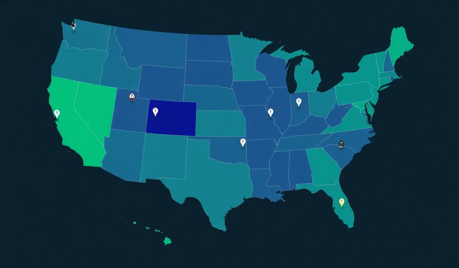
Map small-business and household prospects, split territories by ZIP or county, and keep book size balanced across every agent.
Book size, household density, and SMB count vary wildly by ZIP — flat territory grids hand some agents a goldmine and others a desert.
What you'll map
Balanced books, balanced territories.
- Visualize SMB and household prospects by ZIP and county.
- Carve agent territories with balanced household and revenue counts.
- Overlay demographics, business density, and existing book.
- Spot whitespace where coverage is thin and growth is real.
Built for these roles
- · Agency Principal
- · Regional Vice President
- · Distribution Strategy
Week-one playbook
- 1
Import the book
Policies or households roll up to ZIP and county automatically.
- 2
Balance the territories
Split by household count, revenue, or potential — your call.
- 3
Hand off to agents
Each agent sees only their assigned territory; HQ sees the full network.
Territories
Carve markets by ZIP, county, or custom polygons and assign reps with balanced coverage.
Routing
Cluster stops, plan visit cadence, and optimize drive time across each rep's week.
Analytics
Overlay revenue, volume, or potential on the map to focus effort where it pays back fastest.
Try a live map for Insurance & Financial Services
Spin up a sample territory map with industry-tuned layers in minutes.
Frequently asked
Ready to map Insurance & Financial Services?
Get a guided walk-through with your data on the map.